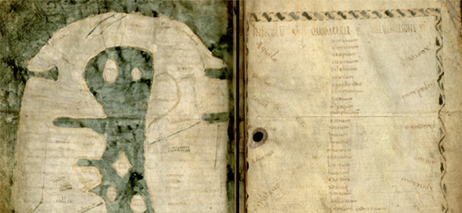
 Compass points or cardinal directions were far less standardized in antiquity than in the modern era. Ancient authors usually expressed indications of orientation in a relative frame of reference. Thus a reconstruction of the process through which the information was registered and reused, was developed | Image: Albi Mappa Mundi

This research group focused on the subject of “common sense geography”. This term, which was coined by the members of the group, represents an attempt to link three subject areas together.
AT A GLANCE
| 27 | Researchers |
| 9 | Research Projects |
| 2 | Dissertation Projects |
| 98 | Publications |
| 18 | Events |
| 42 | Cooperating partners |
Common sense geography refered firstly to that part of historical geography which deals with knowledge in bygone cultures, and especially with the sphere of knowledge that is available in implicit form (implicit knowledge). Secondly, common sense geography addressed “lower” geography, in contrast to “higher” or “professional” geography, and thus it explored how geographical information is disseminated and applied outside of academic discourse. Lastly, common sense geography investigated “naïve” perceptions of space and, in attempting to describe these perceptions adequately, developed mental models (cognitive maps or frames or scripts) of ancient spatial orientation(s).
Research Projects
- (C-5-1) Common sense geography and mental modelling
- (C-5-2) Space, distance, spatiality
- (C-5-3) Insularity
- (C-5-4) Bird´s eye view in ancient Greek sources
- (C-5-5) Winds, wind directions, wind roses
- (C-5-6) Paradoxography and strange things
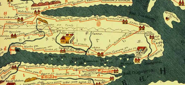
- (C-5-7) Common sense geography and the Peutinger Map
- (C-5-8) Cognitive perception and the presentation of space and place in Mesoamerica
- (C-5-9) Italia illustrata. Interactions between historico-topographical descriptions and contemporary cartography in the Italy of the early modern era