This research group investigated the nexus between environmental requirements for settlement spaces, the cultural acquisition of these spaces, and the development of technical knowledge. The central working hypothesis is that the development and shaping of settlement spaces in earlier societies was an important engine for the development of technological skills and technical knowledge.
| 23 | Researchers |
| 9 | Research Projects |
| 6 | Dissertation Projects |
| 46 | Publications |
| 3 | Events |
| 24 | Cooperating partners |
This is most plainly evident in places where settlement plans were confronted with suboptimal environmental conditions. Settling here required particular effort with regard to the development and use of technical knowledge and customized settlement strategies. Due to the location of the archaeological sites, aspects of water management played a central role. However, the project also investigated building material production and usage, as well as the transfer, adaptation and development of new building techniques and related aspects. In each case, research was conducted to determine what space-related knowledge (e.g. topographical knowledge, rainwater runoff characteristics, quality of resources) was available to the groups involved in implementing the settlement plan, and how they translated this knowledge into technical and social strategies. This also included the question why settlements were founded under suboptimal conditions – in the wilderness, in difficult-to-access valleys, in arid regions or places at risk for spring tide flooding – and what requirements and goals were being pursued in such cases.
A three-step analytical approach was applied in each case, taking into account the sociocultural motivation for founding a settlement, the bodies of knowledge mobilized in the process, and the environmental preconditions and environmental impact of the settlement.
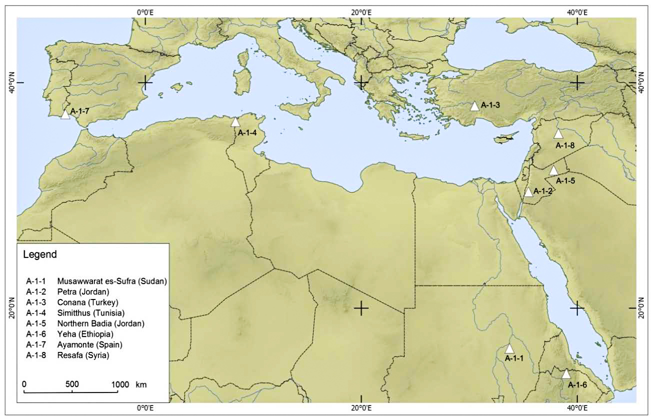
Research Projects
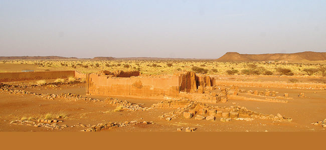
- (A-1-1) Die Transformation des Raums durch Wissen: Fallstudie Musawwarat es-Sufra, Sudan
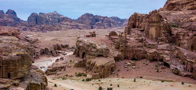
- (A-1-2) Settlement strategies in and around Petra (Jordan)
- (A-1-3) Geoarchaeological studies of settlement structures in southwest Anatolia from the late 3rd to the beginning of the 1st millennium BC
- (A-1-4) Around the marble hills. Interactions between the extensive marble extraction and the development of the city of Simitthus and its hinterland
- (A-1-5) Mobil subsistence, communication and the use of resources in the arid Northern Badia (NE Jordan) in the Chalcolithic/Early Bronze Age
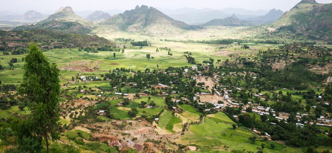
- (A-1-6) The pre-Aksumite site of Yeha (1st half of 1st millennium BC) in the highlands of northern Ethiopia: Studies on ancient water use and irrigation techniques
- (A-1-7) Reconstructing site-specific environmental conditions of the antique settlement of Ayamonte, Lower Andalusia
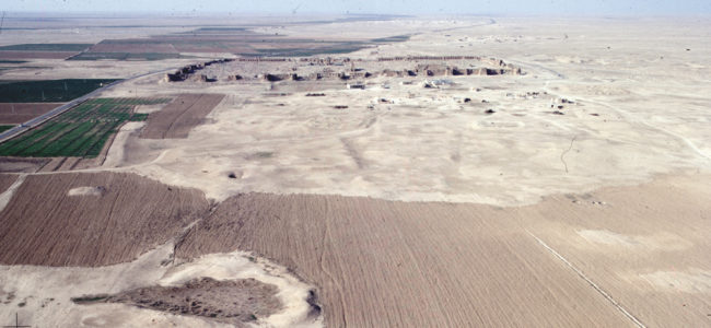
- (A-1-8) Resafa-Sergiupolis – Rusafat Hisham /Syria. Urban development
- (A-1-9) Interaction Patterns at the Transition from Hunter-Gatherer to Sedentary Societies around Göbekli Tepe
Dissertations
- (A-1-0-1) Application of hyperspectral imaging in archaeological contexts
- (A-1-2-1) The Landscape Organization and Spatial Strategies in the Hinterland of Petra in Nabataean-Roman Times
- (A-1-4-1) Ancient Simitthus in-between urban development and marble extension.
- (A-1-5-1) Human-Environmental Interactions in Northeastern Jordan.
- (A-1-7-1) Geoarchaeological case studies at the lower Guadiana estuary: Palaeogeographic development and Human-Environment Interactions at the Phoenician site of Ayamonte
- (A-1-9-1) Diachronic analysis of the interactions between landscape characteristics and settlement patterns in the surroundings of the Neolithic site Göbekli Tepe